The Drakensberg
February 2022
Itinerary |
Map and GPX file |
Travel |
Gear |
About the area |
\\ February 24 | Day 1: Up the escarpment
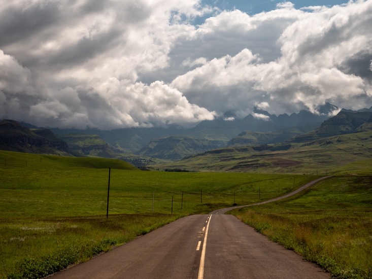
I arrived in the Drakensberg area the day before, where I got my overnight permits at Didima Camp in the Cathedral Peak area. I'd expected this area to be full of tourism, with hotels and roadside stores everywhere, but it turned out to be quite different. The only road to the Cathedral Peak area winds through a long stretched village of a poor black community. The road full of potholes is the only road, the rest is red dirt trails leading to the small huts spread out over the mountain sides. People don't have cars, sewage and for what it seems mostly no running water. But in their first necessity of life if provided: cell phone reception. Everyone has a phone, and that seems to be one of the most important things here. The people look really healthy and all wear clean clothing. I know very little about African culture, but it just seems like people enjoy their way of living and don't have the urge to improve infrastructure or housing like we do in the west.
The only place to stay in Cathedral Peak is in the Cathedral Peak hotel (nights >$300 per night). The more affordable closest options are about an hour drive away. I stayed at Drakensview Self Catering near Winterton with my dad, who happened to be in South Africa too.
Early Thursday morning my dad dropped me off at the trailhead in Cathedral Peak. It was 7am in the morning and already hot and humid. The week before I'd stayed 400 kilometers north just above Pretoria. The hotter but dryer weather there was much more pleasant in my opinion. Early morning the grass was still wet, and my starting trail was a bit overgrown. My shoes were soaked and muddy within 20 minutes. I immediately understood why in so many pictures of this area hikers were wearing gaiters. But it's too late now, my adventure has just started.
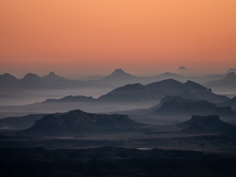
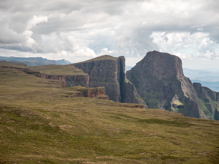
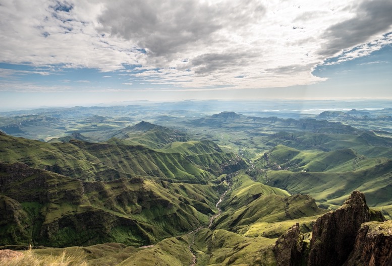
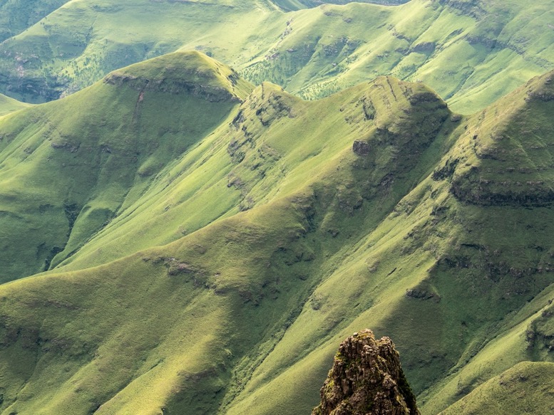
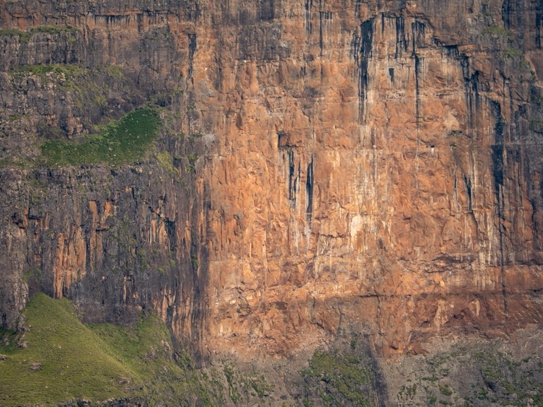
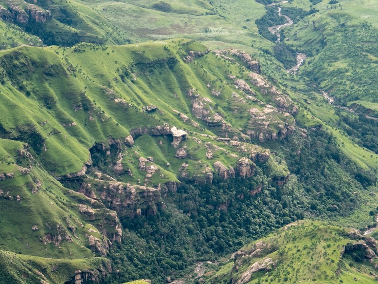
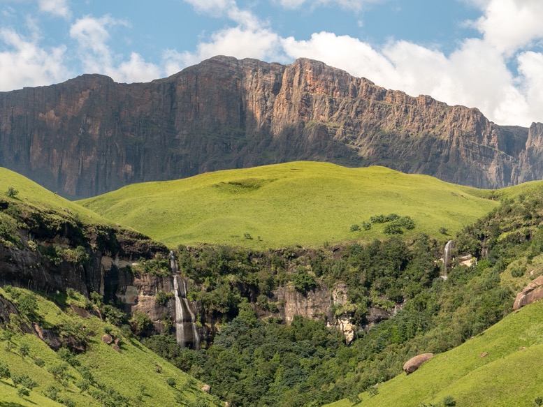
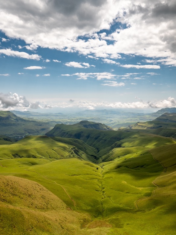
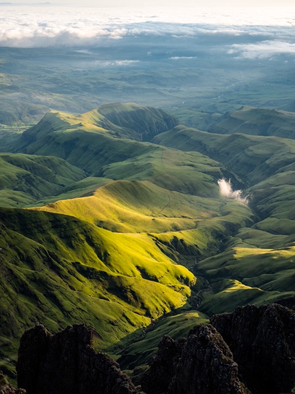
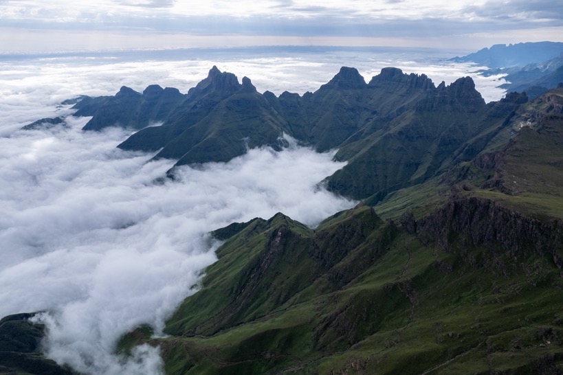
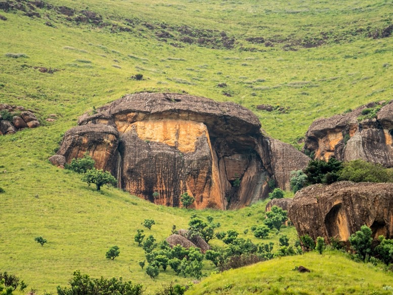
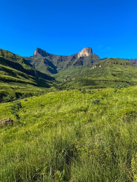
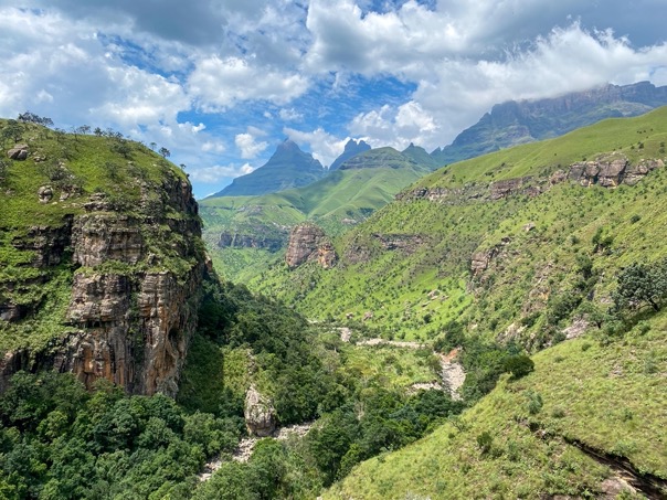
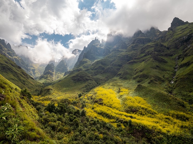
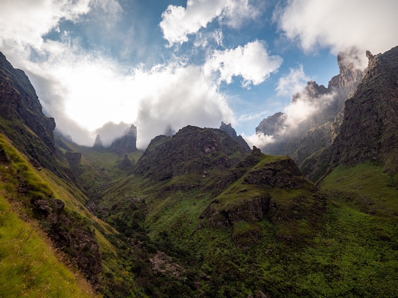
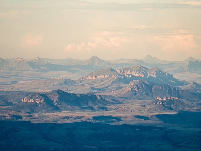
With the geography of the Drakensberg it is unavoidable to start your hike without a massive climb to the escarpment. For me that meant a 2000m+ hike from Cathedral Peak to Organ Pipes pass. Summer in the Drakensberg means wet season. The grass is green, and there is plenty of water to be found. The views of the lush green foothills with the brown vertical sandstone (?) rocks in the distance is mesmerizing and not close to something I've seen before. An amazing color palette. The weather in the Drakensberg is really unpredictable, but in general in (late) summer the day starts sunny, and thunderstorms move in in the afternoon. So my goal was to make it up before 3pm.
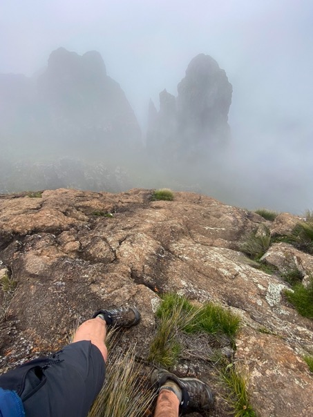
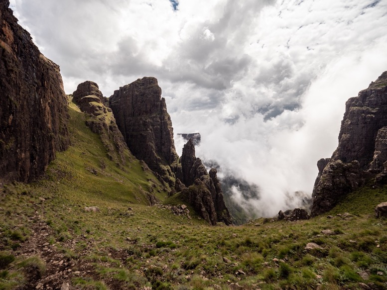
I made good progress. The trail is easy to follow and quite regularly used from what it seemed. I didn't see any other hikers. The gentle foothills slowly transition into steeper terrain before going steeply up to the escarpment. The closer I got to the escarpment, the more clouds I saw moving in around the higher peaks. With just a few hundred meters climbing to go, the fog miraculously appeared from below and enclosed me. The last part contains one of the most technical sections: The Windy Gap. It's a steep and narrow gorge with big boulders to climb over. It was very windy, and I didn't know the name by then. Now it makes all sense.
Around 1pm I made it to Organ Pipes pass and the border with Lesotho. Just before I started hearing the first thunder claps. I just had to go up a bit further and find my cave for tonight.
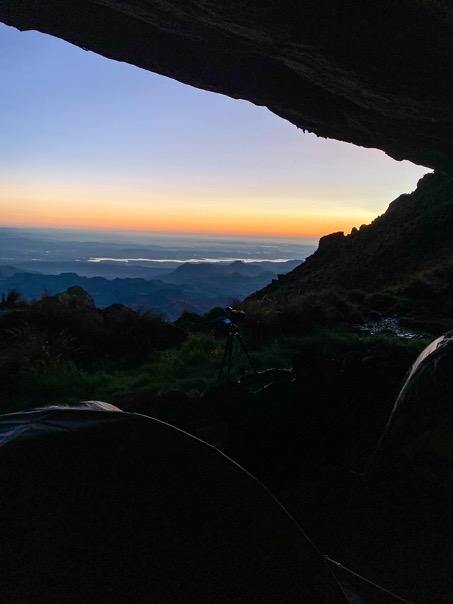
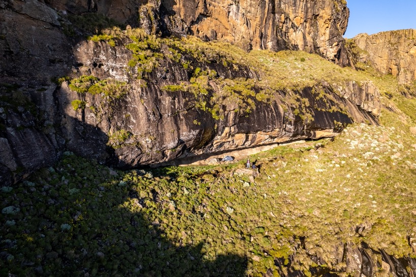
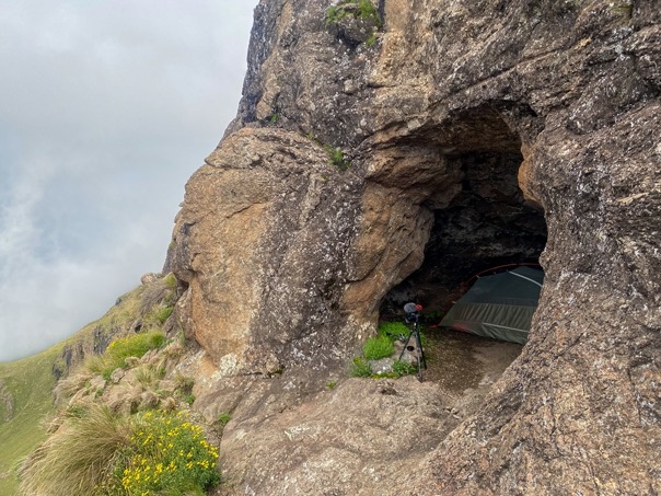
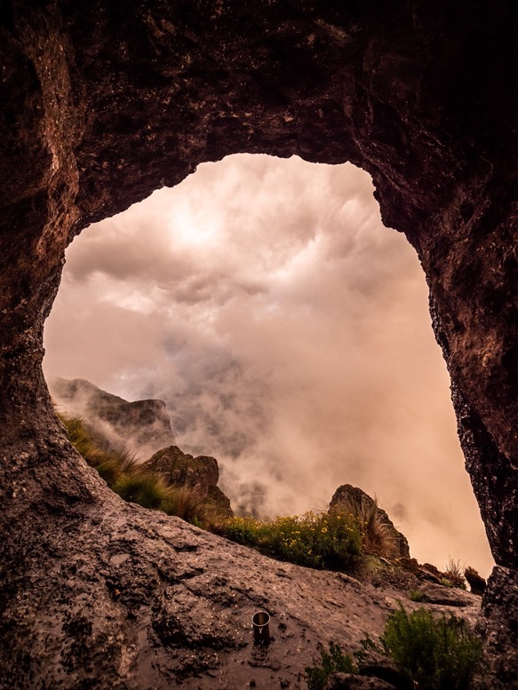
Up the escarpment there is very little protection from the weather. Apart from some low bushes there is no vegetation, let alone trees. But there are a lot of caves that are used for camping. In fact, sleeping in caves is thé custom around here. It offers great protection from the extreme Drakensberg weather. Most caves can be found online listing the location, capacity and more. In peak season you'll probably have to share the cave with others.
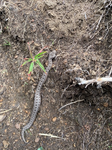
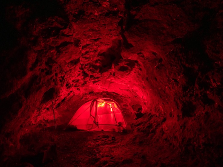
It took me a quite a while to find the cave. Apart from getting an approximate location, GPS is quite useless in these situations. A 5 meter deviation easily means 100m up or down. But eventually I found Roland's Cave at the end of a narrow ledge. The cave can sleep 6 people with tents. Since I know very little about the dangerous animals (snakes) around here, I felt more comfortable in my tent.
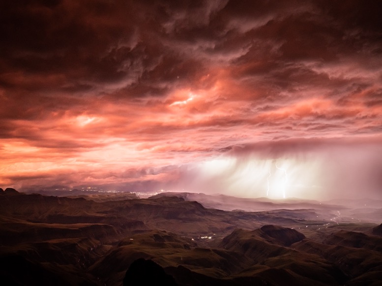
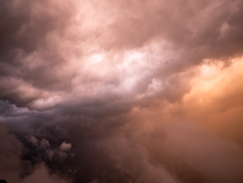
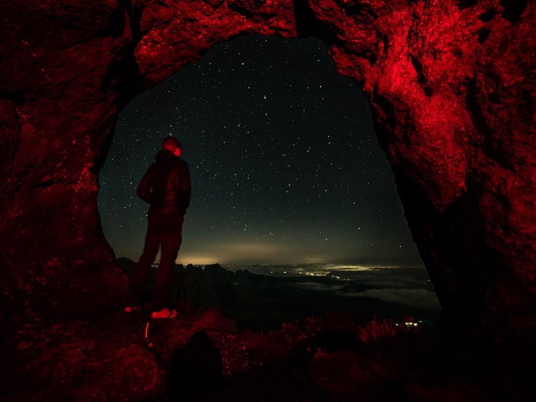
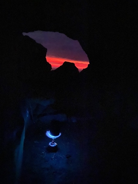
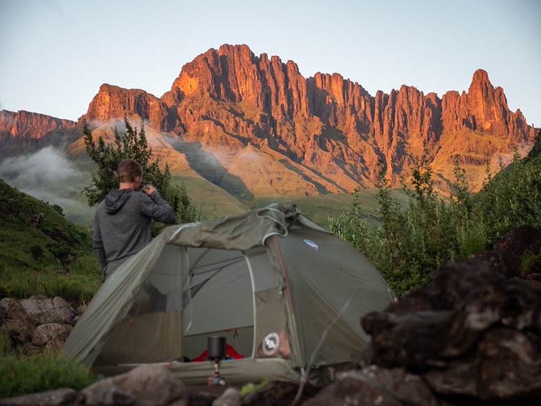
And with the fog opening up every now and then, the views were astonishing! And that night I got the best show nature has ever thrown me. Just before sunset, it started to rain followed by massive thunderstorms. These storms started above me, and moved away from the mountains. Every second the colors of the clouds changed from red to blue to green. Massive lighting in the distance every few seconds. And the sound of the thunder echoing through the cathedral peaks was something I'd never heard before. What a show! But I was glad I could enjoy it from the safety of my cave.

\\ February 25 | Day 2: The shepherds
Sun rises at 5:30, and goes down around 7pm. That means my rhythm for most of this trip was waking up at 5:00-5:30 and going to sleep around 8pm. The storms passed early last night and I even got the chance to take a great star timelapse. The views again were amazing.
I had my classic oats breakfast, packed my stuff and headed out at 7:30am to race the clock against the storms again. Up the escarpment there are no trails. Well, apart from some shepherd trails every now and then, but 99% of the time it's just finding your own trail. Having a GPS receiver and good maps is a must, but the elevation maps are quite inaccurate in this area.
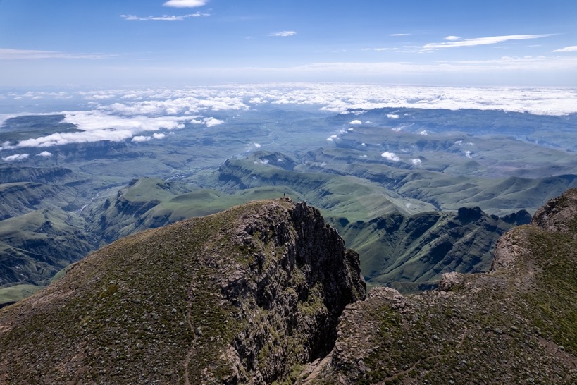
I headed down to Organ Pipes pass and up Cleft Peak (3281m). This peak right on the edge of the escarpment gives a 360-degree view of the South African lowlands and the higher lands of Lesotho.
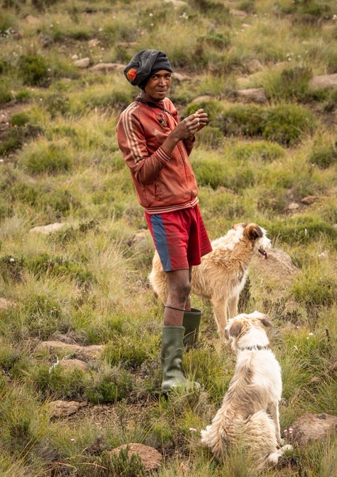
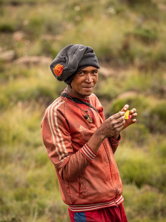
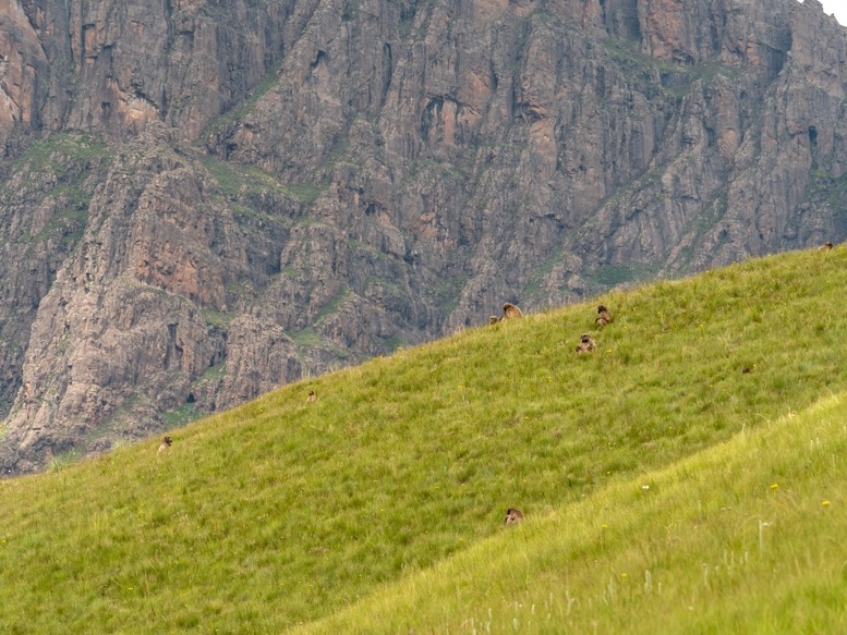
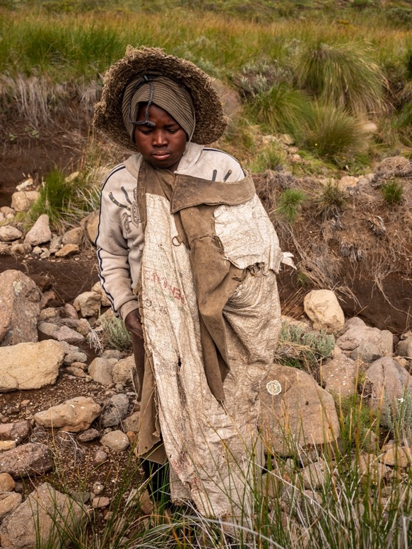
On my descent from Cleft Peak I spotted someone for the first time: a Sotho shepherd (a person from Lesotho is called a Mosotho, or simply Sotho. Citizens of Lesotho are collectively Basotho, and Lesotho's native language is Sesotho). Before my trip I had a chat with a friend of mine who'd lived in this area for many years. He told me about these shepherds wandering around these hills and advised me to bring some candy to keep the sheperds as a friend. But I must admit that seeing one for the first time kind of intimidated me. These poor shepherds usually wear something like rubber boots, underwear and a long cape to protect them from the sun. If they wear other clothing it is often pants and a shirt from woven plastic with holes everywhere. The shepherd started shouting things to me from the other side of the valley; it probably wanted some sweets. But I didn't want to walk to the other side of the valley for it, so I continued my way.
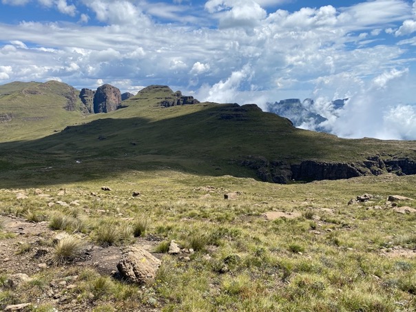
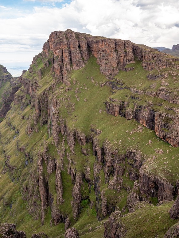
I passed below Elephant peak, a rock formation named after the rounded shape of an elephant head with the tusk to the side. From here I made one final ascent to an unknown peak and slowly descended to the Kwakwatsi river. Even though I'd only hike 15km so far with not even so extreme gradients, it had taken me 6 hours. For some reason I always expected the Lesotho side to be relatively flat. However, it was a lot more hilly and sometimes even mountainous. This and the lack of trails made hiking here quite hard.
Late afternoon I filled up my water bottles at the river and headed up to the edge of the escarpment to look for Easter Cave. I was glad I did some research about possible caves to sleep in. These caves are not easy to find, and with several more shepherds in the valley, I surely didn't feel like camping near the river. And since these caves are looking down from the escarpment, shepherds don't stay here at night.
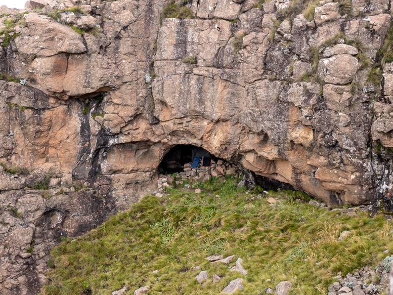
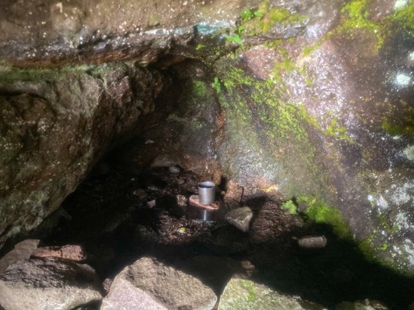
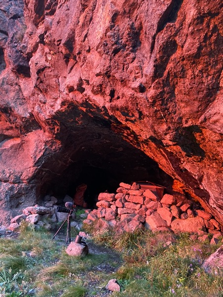
I found Easter cave just behind the edge of the escarpment. It offers enough space for 6 people without tents, and fitted my inner tent perfectly. There's a small stone wall against the wind in the opening and has several drips in the back of the cave for water (just in summer I read). This was great as I didn’t have to walk down and up to the river for water.
I was quite exhausted. I eat very little when hiking; I usually don't have an appetite and the heat wasn't helping either. I cooked my pasta and ate when the dark thunder clouds moved in again at sunset. However, apart from some thunder in the distance and a lot of wind, the real rain and thunder stayed out this time. The weather can be really local, having massive thunderstorms at one location and sunshine 1 kilometer down the escarpment.

\\ February 26 | Day 3: Down into Mnwemi
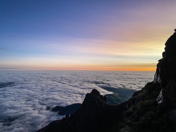
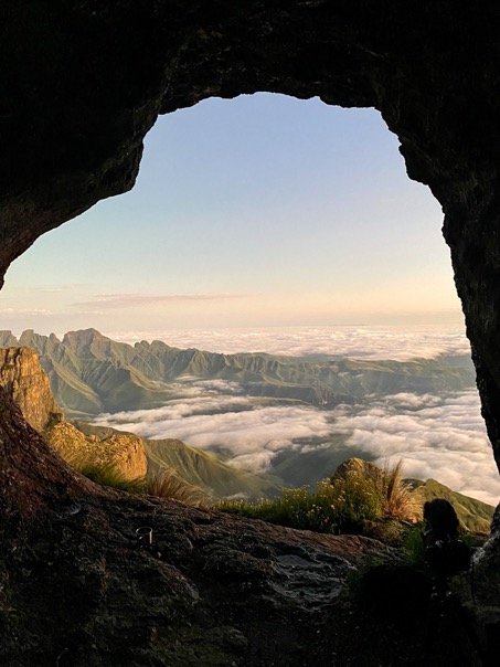
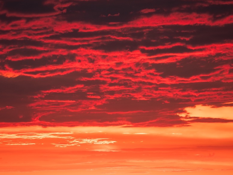
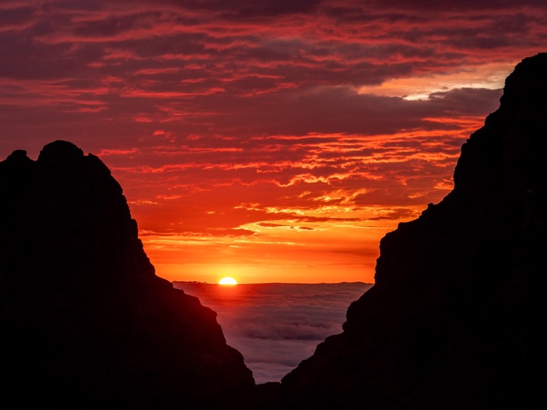
I set my alarm at 5am, even before twilight, in the hope I could relax a little bit more during the day and not rush in a fight against the storms. This sunrise might have been the most beautiful I've ever seen. As the sun moved towards the horizon, the sky with different layers of clouds turned deep orange and red. This was exactly like the sunrise from the Lion King! From the cave I looked out on the 2 peaks, with a gap between them. I was taking a timelapse of the clouds between the 2 peaks and without thinking about where the sun was going to rise. Very surprisingly it was exactly between those two peaks. What a sight!
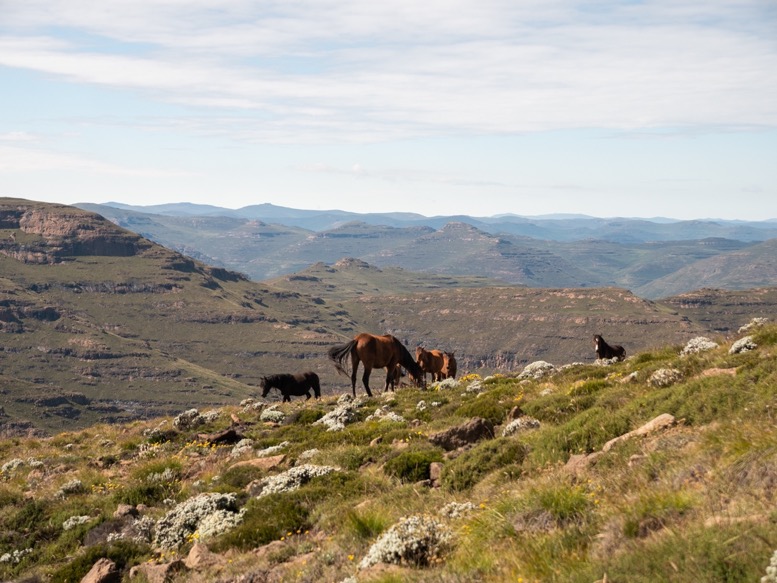
My plan for today was to follow the escarpment north west to Rockeries pass and head down towards Mnweni, a small town where I would meet my dad for resupplies. The day was windy and a bit colder than the days before. Ideal for hiking actually. I made good progress. About halfway to Rockeries pass I stopped to do some laundry in a stream. Laundry? Well just flushing the sweat out of some clothes. I was just about to finish when all the sudden there was a man on a horse next to me. I hadn't heard him coming with his other horses and dogs and he didn't say anything. I wasn't really scared, but I felt the adrenaline kicking in. It was a Sotho shepherd, and totally unplanned I had my first meeting with one of them. While he just kept staring at me without saying anything, I grabbed some candy and gave it to him. You should have seen his hands, so rough from being outside all the time. The candy seemed to satisfy him, and he moved on.
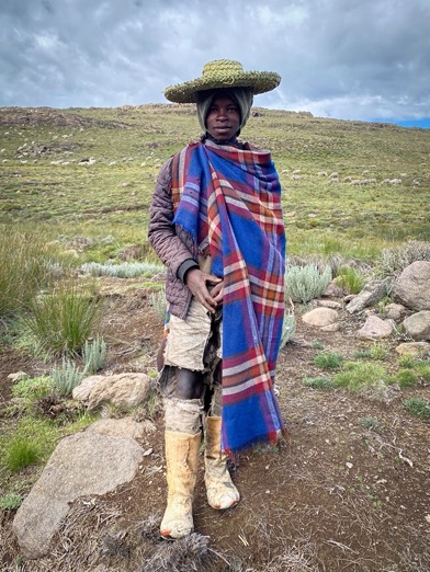
Not much later I met 2 young shepherds. These 2 brothers, not older than 15 I guessed, were out herding their sheep. One spoke a few words of English. One was dressed in shoes and pants made out of woven plastic, wearing a long checkered blanket, and a straw hat. His younger brother wore a similar blanket, but no pants at all. I gave them some candy and asked them if I could take some pictures. They agreed. The pictures I took are some of the best I've ever taken. For me they tell such a story. At the same time I had so many questions. Where do they live? Do they go to school? Do they have hobbies, friends?
I was now close to Rockeries pass. It was around 11am. For the last half hour I'd been closely watching the sky in the distance as dark clouds started moving in. And there it was: the first thunder bangs in the distance. 11am! Just when I thought I started to understand the weather pattern here, I was put back in my place. It was more luck than wisdom that I'd made such progress that morning, otherwise I would have had a problem being so exposed on the escarpment. I made it to Rockeries pass and started the steep descent down. I hadn't seen a trail since the climb of day 1, although I would barely call it a trail. This pass is clearly less used than the one in Cathedral Peaks and not maintained at all. There were big boulders, washed out sections, steep sections down on slippery rocks and overgrown parts where I could barely see my feet. To make things worse, rain and thunder moved in just as I'd started my descent. The next few hours were wet and hot with a lot of mud and sliding. But the scenery was beautiful. I seemed to pass through different types of fauna as I descended: from just grass, to Protea trees, to dense forested sections and large meadows with flowers. Together with the fog an ever changing scenery.
I planned on sleeping in Sunshine Cave about halfway down the ascent. But as I got closer I realized the cave was not easily accessible. Looking at the elevation maps it was just a gentle walk down and then up to the cave, but in reality there was a massive canyon with a river between me and that cave. As I already experienced the days before: the elevation maps of this area are really really inaccurate. It seems like they have a resolution of 100m or so. At the end of each day I have a lot more elevation gain on my watch than what I'd planned with various apps I use.
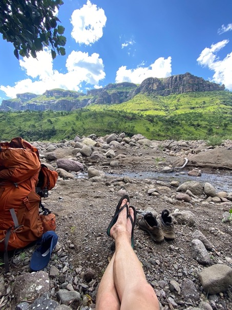
I walked further down into the valley until the river 'trail' crossed the river. Crossing and going back up to the cave was no option anymore. But I found a beautiful flat spot of coarse sand in the middle of the riverbed, far above the water level. It seemed like people had camped here before. As I put down my backpack the sun started to break through. What a game changer. I'd been wet and dirty most of the day; with the sun out I took a refreshing dive and dried most of my gear.
Just before bedtime I gathered some of my valuables, put them in waterproof bags and hid them underneath some stones away from my tent. Mnweni is the only part of the Drakensberg that is not recognized as protected lands (to the south is uKhahlamba-Drakensberg Park, the north is Royal Natal National Park), meaning there are a lot of poor farmers living in the valley. At the same time the passes here are used for drug smuggling by the so called Dagga's. I was close to the trail, so I didn't feel totally comfortable, so better be sort of safe than sorry.
\\ February 27 | Day 4: Easy day
The night was hot and humid. Up the escarpment the air is a lot dryer and temperatures drop to just below 10ºC (50ºF) at night. Here in the humid valley it was almost 10 degrees warmer at night.
Today was an easy day. I put on my wet socks and shoes and got back onto the trail, which was actually not easy to find. According to the map the trail crosses the river very oblique making it hard to find on the other side. On top of that the trail was even more overgrown than yesterday and very swampy at times. They always advise to look down when hiking in the Drakensberg, as the poisonous Pofadder snake doesn't flee but relies on its camouflage. Stepping on one can be deadly. But on sections like these that is an almost impossible endeavor. So fingers crossed, and doing the best I can.
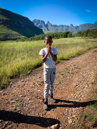
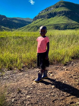
The first few kilometers from the campsite progress was slow. But I could see the first houses/sheds in the distance. Just beyond the first houses the muddy overgrown trail transitioned into a wide gravel road. The whole valley here is full with small round houses with straw roofing and tin sheds. Groups of these houses have a small flat square of red clay. People were friendly and children followed me for sweets. There is little I understand about these people. They all seem happy and healthy, and everyone has a smartphone although there is no reception and most houses don't have electricity. The only road is the gravel road put there by the government. People get to their houses via small muddy dirt trails or just through the grass. Why don't they put in some effort to make a decent path to their houses? Some of these people are farmers, others have cattle, but most just seem to hang around the house.
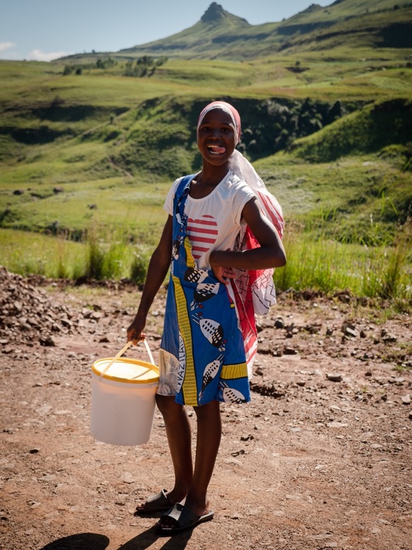
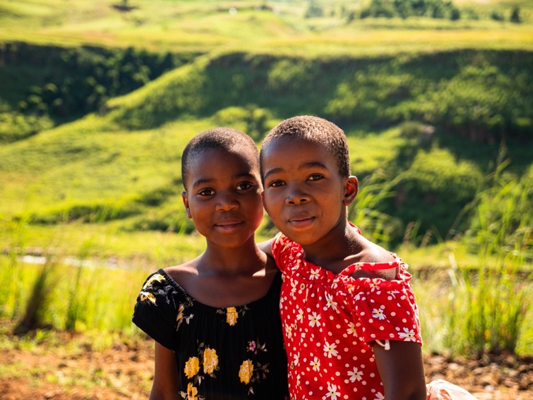
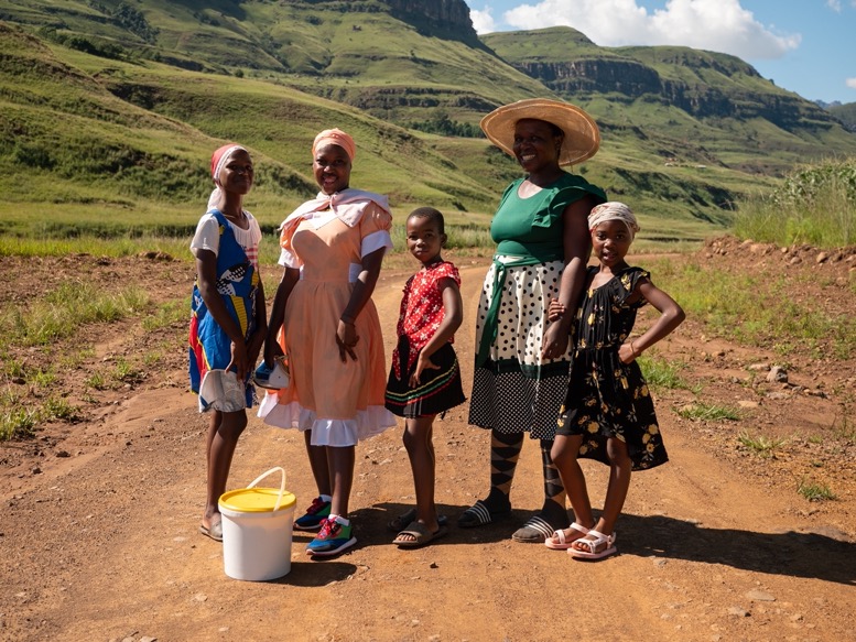
I followed the dirt road deeper into the valley. I met a small family of mum and 4 daughters walking down this road as well. All well dressed as they made their way to their grandparents about an hour walk down that road. One of the little girls spoke some English. All the way down that road 2 of the girls walked next to me, probably enjoying the company as much as I did.
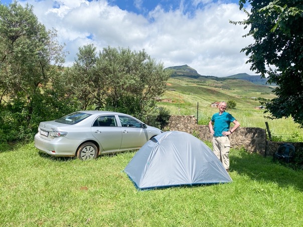
At 10 in the morning I made it to Mnweni Cultural and Hiking Centre. This is the only place to stay in the whole area. The camp has multiple cabins for rent, and a large camping field. There is a shared kitchen and facilities like showers. The whole camp is old, but clean. My dad drove here the day before. From the closest town it is an 1.5 hour drive on gravel roads, that in places is more like a 4x4 route. There is no grocery store or restaurant anywhere nearby, so I was glad my dad brought some proper food.
We stayed in one of the huts that night. I was exhausted. The days were longer and harder than I'd planned, and I had barely eaten 40% of the calories I needed the days before. The easy day seemed to come at exactly the right time.
\\ February 28 | Day 5: Bushwhacking to the escarpment
Clean clothes and a full belly. Early in the morning my dad dropped me off 6km down at the end of another gravel road. I felt better than yesterday, but another day off would have been nice: still quite tired.
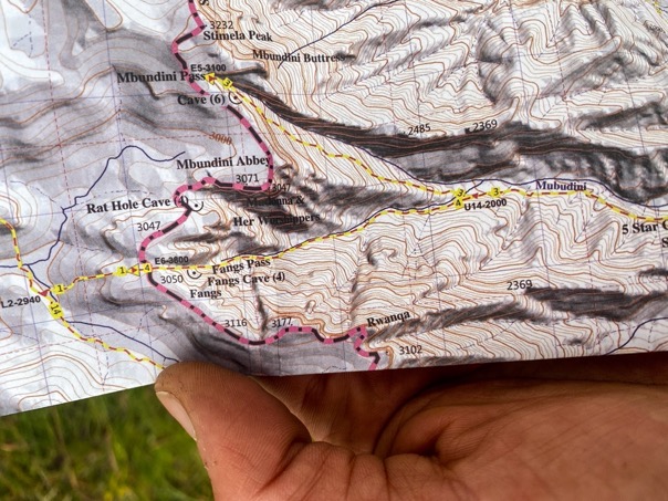
My plan for today was to make it back up to the escarpment, or at least get close to the top. The valley I was in was a lot longer than the one I came down through. My initial plan was to go up Mnwemi pass close to Rockeries pass, so I could see the source of the mighty Orange River, South Africa's longest river. However, based on my experience from a couple of days, that route would take me a day more than planned. So instead I wanted to shorten my route a bit by going up Fangs pass.
This pass is for the most part unmapped on Openstreetmaps, but it is on the official park map, and I'd read people doing that route, so it seemed like a good choice. Little did I know ...
I winded through the long valley as a run-up for the climb. I felt ok, but not great. The scenery was beautiful and felt even more remote than the descent from 2 days ago. I made some coffee and ate something near the river several hours in. One of the harder things about the Drakensberg is that you always have to go up the escarpment with a full backpack. I continued my route enjoying the scenery while listening to the extended edition of the Lion King. Felt fitting here.
At the intersection of the trails to Mnwemi and Fangs pass I headed right; up to Fangs pass. I passed by 5-Star Cave (the origin of the name of this cave is unknown). This was my first option for an overnight, but it wasn't a particularly nice cave and I wanted to make some more progress, so I continued.
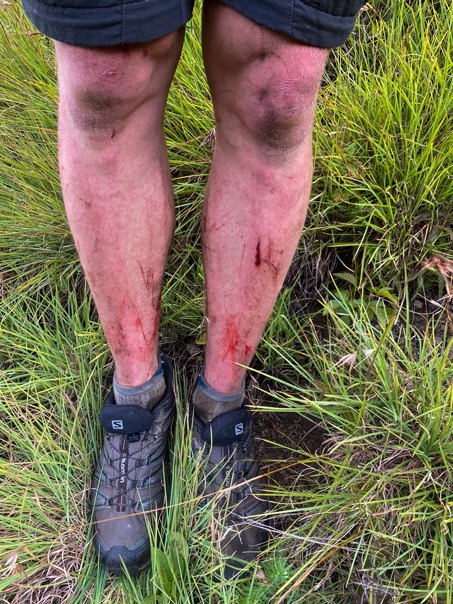
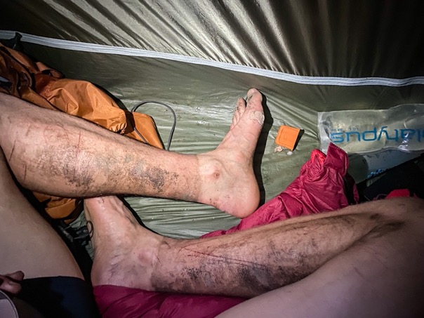
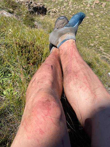
At first there was some trail to follow, overgrown but for this area pretty ok. But the real fun began as soon as the trail was no longer mapped. I got into a small valley and away went the trail. I walked back and forth but could not find any obvious signs of a trail. I could have gone back to try Mnwemni pass, but I knew the terrain would open up the higher I would get, so I continued. Progress was really slow. This must have been some of the hardest bushwacking I've ever done. Hiking through prickly plants, through dense bushes, through grass higher than me and over massive boulders. I tried different tactics: higher up the valley walls through the grass, but that meant crossing steep ravines of the side streams and sometimes traversing dangerously steep slopes, and other times I would try to follow the creekbed, but that didn't work when there were water falls. With my legs bleeding from the scratches, I very slowly made progress. I still didn't feel so well, and the heat made me sweat like crazy. I must have drank 20-30 liters of water that day.
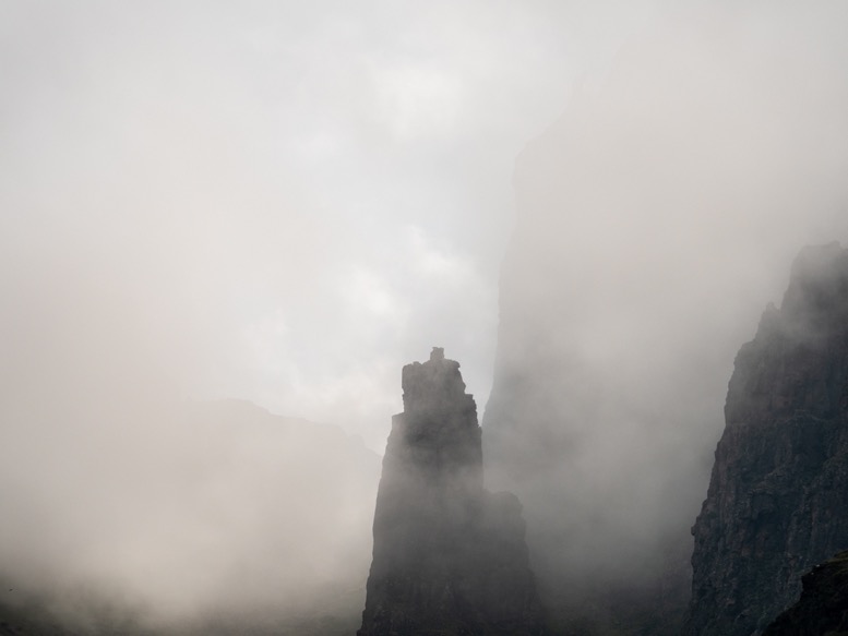
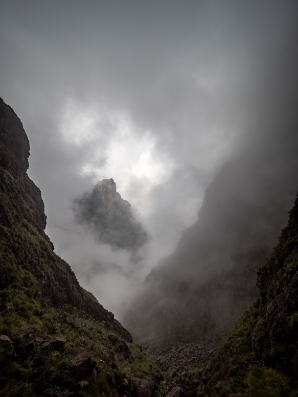
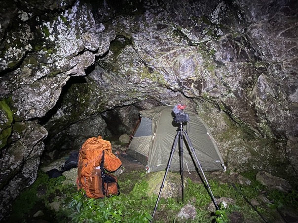
Several hours in I noticed the valley wasn't climbing as fast as I'd hoped, meaning I had a lot more vegetation to go. With this pace I wasn't able to get up the pass by nightfall, so I kept my eye out for a camp spot, just any flat spot would do. But nothing was flat, and if it was it was so overgrown it would take me hours to clear the vegetation. So all I could do was just keep pushing and pushing. I was so tired and lacked all the energy, but it felt like just the adrenaline kept me going. To make things worse the fog started rolling 2 hours before sunset and I still hadn't found a campsite. To make those things even worse than that I headed up the wrong gully by a combination of errors: the elevation maps didn't make any sense, my compass had a deviation I didn't notice because I was so tired, and I trusted too much on looking up to make that decision. When I realized it, it was too late. I'd already climbed up some steep slopes and walls, and it was getting dark. I kept pushing on in the hope there would be a passage to the escarpment to this gully too. When the sun was setting in the fog, I was ready to just roll out my sleeping bag and call it a day, ready for a very uncomfortable night without sleep. But then I spotted some caves, one of which was actually flat. The first flat spot since I started looking for one 6 hours ago! But there was no water anywhere nearby. So I pushed on a little further and climbed some tricky steep walls when I found a small stream of water. After I filled my water bags with 2.8L of water it was dark. With my headlight on full power I navigated back through the fog down the steep wall I came up on to get back to the cave. I made it! Given the stones and boulders on the cave floor, I was the first one to have camped in it. Kinda awesome to think about. A virgin cave.
I was so tired I didn't have an appetite. I forced myself to eat a little bit, but it was barely 10% of what I burned that day. With my legs dirty and painful from the scratches I crawled in my liner and sleeping bag to try to get some sleep. How was I going to get out of here? Should I go back, or up to the escarpment?
\\ March 1 | Day 6: Where the shepherds live
With the fog cleared and daylight things were a lot clearer than last night. The worries from last night about how to get out of here passed, but the exhaustion didn't. I had a headache and still no appetite. With a lot of effort I managed to eat half a cup of oats in an hour.
I made my way down the gully where I'd come up through. Where I'd camped I was close to the escarpment, but it was too dangerous to continue up. Close to the point where I'd taken the wrong turn yesterday I managed to shortcut to the right gully and before I knew it I was on the final ascent to Fangs pass. This was so much easier than I'd worried about last night, and if I hadn't gone up the wrong gully I'd have made it up the escarpment yesterday.
Just 2 hours in I made it to Fangs pass. What a relief. This must have been the hardest climb I've ever undertaken.
From Fangs pass I made it down to a small creek, where I sat down and relaxed for a moment. My plan was to get a little land inward and head towards Tugela Falls where I'd meet my dad tomorrow. But exhausted and still with minimal appetite I would take it easy today, with many, many breaks.
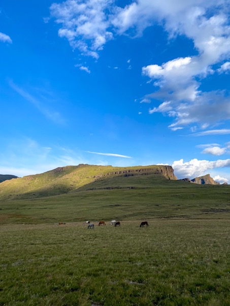
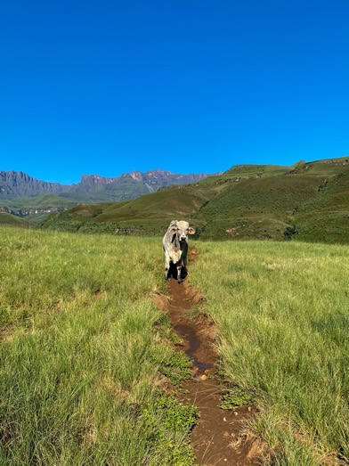
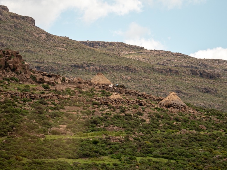
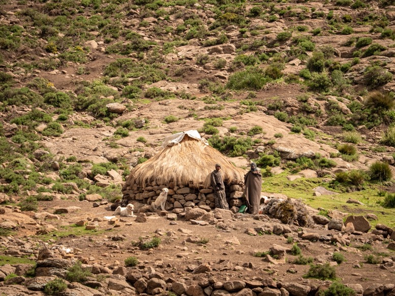
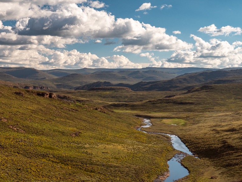
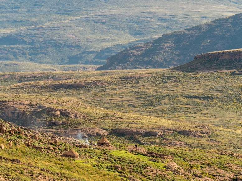
I passed over an unnamed pass to a creek that I followed down to the Khubedu River deeper inside Lesotho. So far I'd only seen shepherds with their herds, but didn't know where these people lived. Well, the answer was along this river. Every kilometer or so there is a low circular hut with stacked boulders as walls and a grass roof. Next to it most of the time is a sheepfold also made of stacked boulders. To me it seemed more convenient to live directly on the river beds, but since all shepherds live on these hills it's probably because of the dryer soil, to better overlook their herds or because it's warmer. My list of questions about these people grew immensely today. Do they live here permanently? (Probably not, since I didn't see any women.) What do they eat? Do they ever go to town? Do they have hobbies? Other skills?
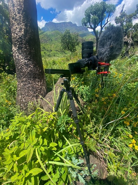
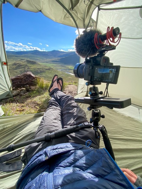
Walking along the river below these settlements I must admit I was getting a bit annoyed by these people. As soon as they see you they start shouting and run towards or follow you to get a small piece of candy. At first I thought they just really enjoyed the candy, but the longer I thought about it the more I realized it isn't so much about that piece of candy for them, but more about being able to do something. These people are out on a rock all day overlooking their herd. They don't have electricity or anything else to do. The landscape of the barren green hills will get really boring really fast. These people have such a monotonous existence that just the distraction of meeting a white tourist might just as well be their highlight of the day, and so they chase them down. They never seem to have any interest in any of the gear, even though I have a massive camera with a microphone on a tripod. They just don't seem to care about it. And as soon as they have their candy, they move on.
I would have loved to sit down with one of these shepherds and talk, but none of them speak more English than 'sweets' and 'thank you'.
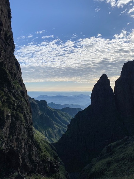
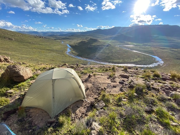
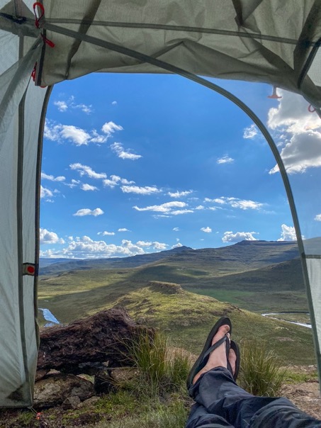
I was tired and just wanted to pitch my tent next to the river. But although these people seem to be mostly ignorant of me, I didn't feel totally comfortable camping next to them. An there are stories of people being ropped and harassed at night. But I didn't have many options. Camping close to Tugela Falls is even more dangerous (as it is the most touristy area), and getting back to the escarpment was just too long of a walk. I hiked up a small side stream and found a beautiful spot close to some water overlooking the windy river in the valley. I could spot several settlements of shepherds in the distance, so I tried to keep a low profile, pitching my tent as camouflaged as possible (again happy to have chosen the green version of my tent, not the orange one) and only using red light pointing down at night. And just like a few days earlier, I did an equipment drop away from my tent, just in case.
But the views were beautiful, and much different than any of the night before. The sky was blue when the sun set, and in the distance I could see several fires in the hills from the shepherds. I felt like I was thrown back 2000 years, by these people living in such a primitive and simple way.
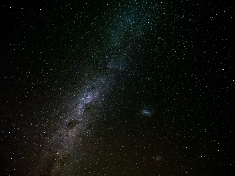
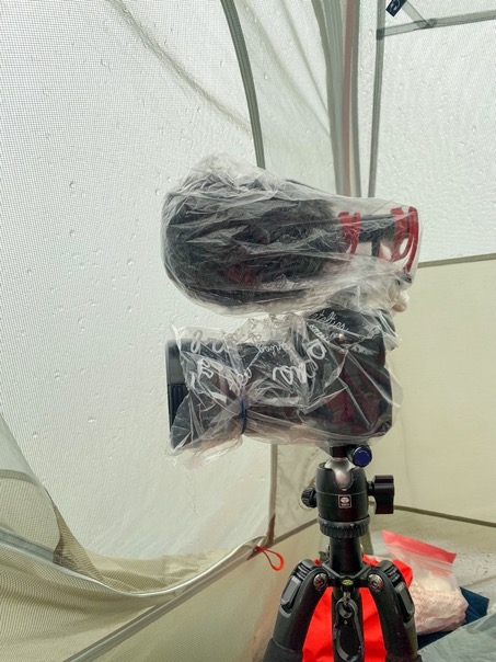
Just pas sunset the stars came out. This spot is high up the list of the most stars I've ever seen. With my head and pillow out of my tent I just stared at the stars for a while, while attempting to make a timelapse. Unfortunately it was getting really humid out, and the lens kept fogging up.
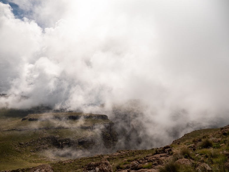
To the north, the edge of the escarpment, I saw massive thunder clouds forming from below as the humid air was rising up the escarpment. The clouds I was in the night before. Such local weather.
\\ March 2 | Day 7: Hi dad!
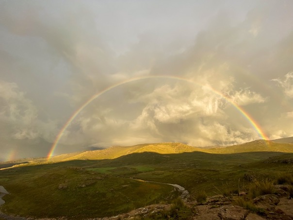
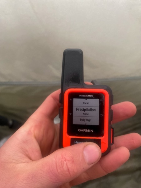
I woke up at 6am to the sound of thunder. Suprise suprise. The weather again totally unpredictable. To the west in Lesotho I saw a massive storm front moving in. A double rainbow around it by the sun hitting it from the east. I requested a weather report with my Inreach: 0% of precipitation all day. Well, the most useless weather report ever. I'd pitched my tent in such a way behind a stone wall to protect me from the wind that was supposed to come from the south, but it came from the north west, leaving me exposed.
Moments later the storm moved above me, hitting me with massive winds and rain. Temperatures dropped below 8ºC. The ventilation hole in my tent is kept in place with a small piece of velcro, but the wind just blew it over, getting rain in my tent. It's a great tent, but in these stormy conditions not the best. I put on multiple layers of clothing and sat down waiting for the storm to pass.
The lack of food really started to take its toll on me. My stomach was so cramped up I woke up last night with a sharp pain in my stomach. I managed to eat some peanuts to ease it, but in the morning I didn't feel much better. On top of that, just exhaling deeply now caused me to cramp up even more. I still didn't have an appetite and all the food I had with me made me almost throw up. It took me an hour just to finish a small pan of cooked oats. If it weren't for the fact my dad was coming up to spend the last night with me on the escarpment, I would've made my way down today, that's how bad I felt.
The storm lasted several hours. At 9:30am there was a small break in the weather, with some sun breaking through. As fast as I could I threw all my stuff in my backpack, and strapped the soaked tent to the outside of my backpack. I headed north towards Tugela Falls. More rain moved in, and with the wind it wasn't particularly nice. At noon I made it to Tugela Falls, wet, cold and exhausted. My dad just arrived there too. He came up that morning from the Sentinel parking lot, a 3-4 hour hike. I've never backpacked with someone else before, but doing it with my dad is special.
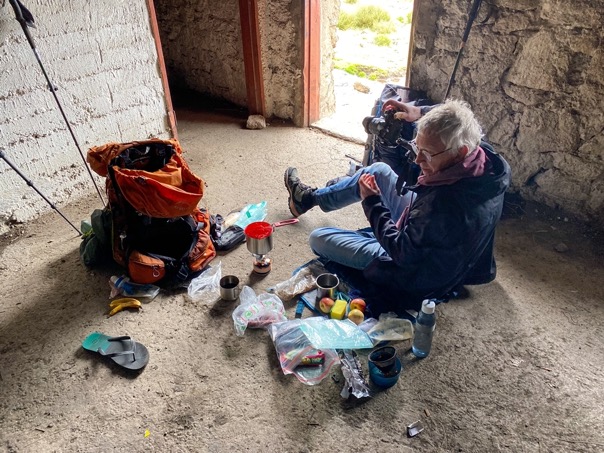
We had a little break in the only building on the escarpment, Tugela falls hut. It's an old abandoned mountain cabin that offers some protection from the wind. And perhaps the best part: my dad had brought up some food that I could actually eat. For some reason I couldn't have a single bite of my own food.
While we were having a break the weather started to clear up. It was still windy and cold, but at least the sun came out. Just past 1pm we set out on the 10k hike to Ifidi Cave. Tugela Falls is probably the most popular spot on the escarpment for tourist, mainly because it's relatively easy to get to. That also means that robberies take place in this area, and staying close to there is also not safe. The closest cave, Crow's Nest Cave was therefore ruled out and we decided to head for Ifidi Cave.
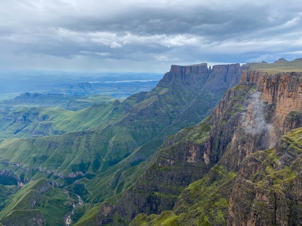
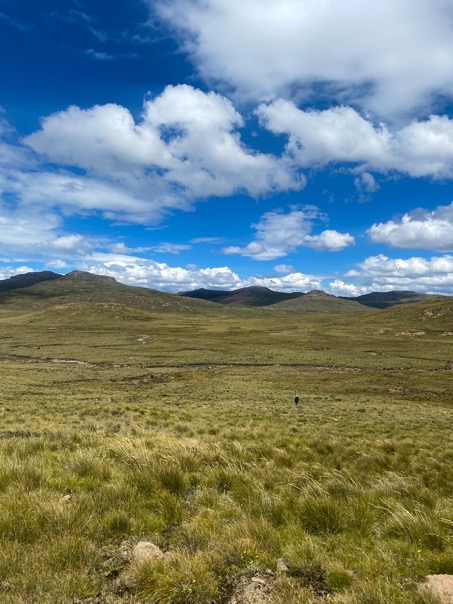
Our route to the cave was relatively boring. We both felt tired and since it was running late, we just wanted to get to the cave as fast as possible, thus choosing the easiest and shortest route landinward. But nevertheless the route was beautiful with vast green valleys that changed color as the sun shining on them came and went with the clouds.
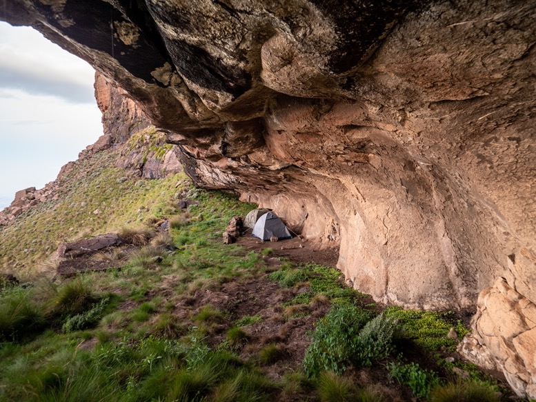
Just before 6pm we arrived at the cave. The cave is a long overhang which would easily fit 30 people, if it weren't for the fact only a few places are flat. The views from the cave were some of the best, looking far into the valley below. We pitched our tents, rested, ate our hydrated dehydrated meals and went to bed early.
\\ March 3 | Day 8: Time to go back
I love it when my alarm goes off, I feel extremely tired and want to go back to sleep, but then decide to look outside, see an incredible pre-sunrise sky and suddenly want to get out of bed asap. I think that only happens when camping.
The sky had a dark red color close to the horizon, with a perfect horizontal gradient to blue. These sunrises in South Africa are really special, unlike anything I've ever seen.
We decided to skip breakfast and instead have some snacks and a lot of pictures of the view and headed out.
Instead of heading the same shortest way back to Tugela Falls, we followed the edge of the escarpment as much as we could. Surprisingly, the first part was a lot easier than the last part yesterday. Instead of climbing 400 meters to a saddle, we actually managed to mostly walk around the climb. Up front I'd carefully planned yesterday's route so we had as little elevation gain as possible. But again it shows that the elevation maps aren't accurate enough around here.
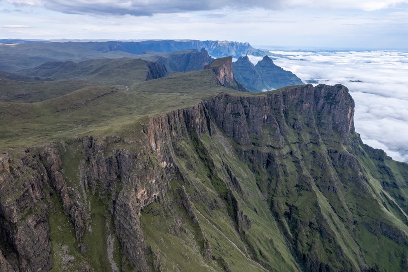
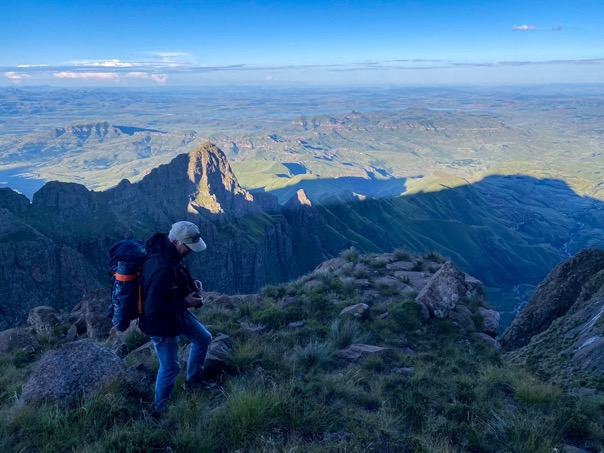
The route on the edge was a lot more exciting than yesterday, with spectacular views into South Africa. We passed over the saddle just west of Mount Amery, where another Sotho shepherd on a mule 'coincidentally' happened to cross our paths. I was used to it by now. We continued over rocky terrain into the last Lesothon valley where we had a little break with some coffee at the creek. On the other side of the valley we looked up at Mont-Aux-Sources, translated to fountains mountain. 3 major South African rivers originate here. To the east Tugela that flows into the Indian Ocean, the west the Celadon River, one of the main tributaries of the Orange River that flows into the Atlantic Ocean, and to the north Elands which eventually also flows into the Orange River.
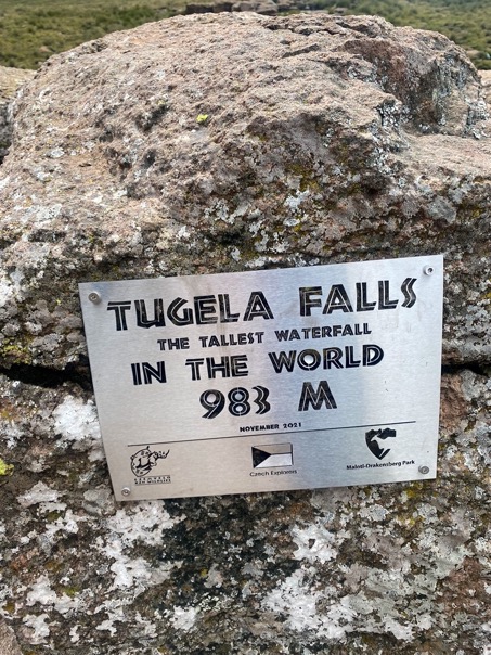
We made it back to Tugela Falls, the tallest waterfall in the world by overall height at 948m, with the tallest individual drop over 400 meters. It's funny how there's literally no sign warning against the dangers of getting close to the waterfall, or fence protecting against the drop. So different compared to, for example, Yosemite Falls in the US.
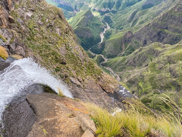
The views from above are quite spectacular, but it's difficult to see the entire falls without hanging dangerously over the edge. Views from below are probably even more spectacular (and safer).
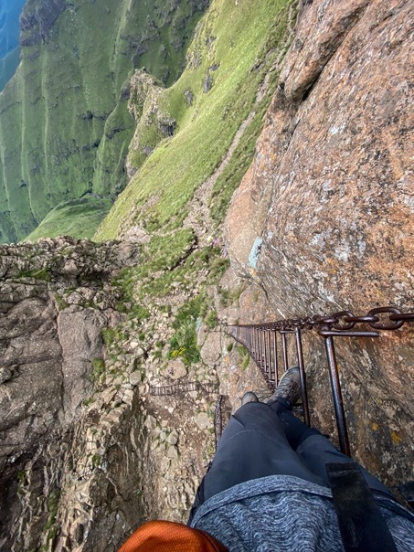
The hike to Tugela Falls is quite popular, and for the first time during my 8 days on the plateau, I spotted other people. There are 2 routes to Tugela Falls, one via a rocky steep gorge, the other via the infamous Sentinel Ladders. Both start at the Sentinel parking lot, just 700 meters down. We of course chose for the adventurous Sentinel Ladders down. The first ladders are 2 ladders next to each other, about 20m long. One of the metal ladders has large rings holding it away from the rocks. The other, probably older one doesn't have these rings. The second ladder is at least twice as long, and in parts just vertically down. Not recommended for people with fear of heights, but for us it was a fun descent.
Down from the Sentinel Ladders the remaining few kilometers to the parking lot are easy on an easy hiking path, with parts even paved with concrete blocks.
Around 3pm we got to the parking lot, both exhausted but fully satisfied. On the parking lot is a new building that is planned to be used as a restaurant, but the 5 km long road leading to it, isn't yet finished. We called the Witsieshoek mountain lodge where we stayed for the night for a ride down, and were picked up by a 4x4. The road was so bad, in places just a river bed, that I personally wouldn't have felt comfortable driving there.
I know I had a good trip when I don't feel sad if the trip is over. I felt satisfied and extremely tired, so I didn't mind too much that this adventure was coming to an end. Terrain wise this had been an extremely difficult trip, in which I pushed myself to my limits, especially during the full day of bushwhacking up Fangs pass. But the combination of extreme landscapes, remoteness, people and scenery makes this my favorite hike so far.
